Well, hello Dear Friends… it’s been a while….
After a course I always send out an email to delegates in which I have previously included a link to an old blog post entitled “Some Covid 19 resources“. It is a little out of date now, as you can imagine, so I thought it was time for an update of handy resources which you can use to supplement your knowledge once your course has finished.
This is a ‘live’ document so any additional websites and resources that I find will be added here, so you might want to bookmark this article and revisit it periodically.
Let’s have a look at what’s available:
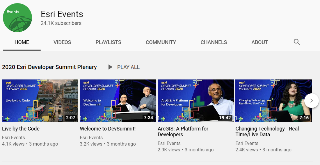
Esri’s Mediaspace website
Esri’s Mediapsace website is a gateway to a trove of fantastic presentations from many conferences (for example DevSummits, Esri Federal GIS Conferences and International User Conferences, to name just three) as well as many “How to…” videos.
You can access the website through this address:
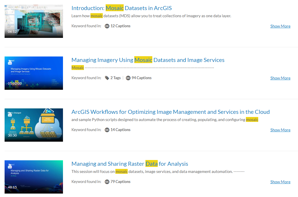
You can search directly for a topic of interest – for example if you type “mosaic dataset” into the search window will return all of those presentations associated with mosaic datasets.Click on the presentation to start it.
You can filter by Product, by Event – there are many filtering options you can choose from.
This is a great website and I show this to everybody who comes on my courses as there really is something for everybody.
Learn ArcGIS
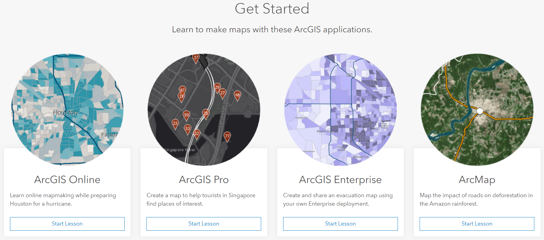
A fantastic and free resource is the Learn ArcGIS website.

To get access to the site click on the link below:
Here you will gain a great understanding of how to use the various components of the ArcGIS Geo-Spatial Platform through a series of real-world scenarios.
Step by step lessons are available for all parts of the platform – from ArcGIS Pro, ArcGIS Enterprise, ArcGIS Online to ArcGIS Dashboards and Drone 2 Map for ArcGIS.
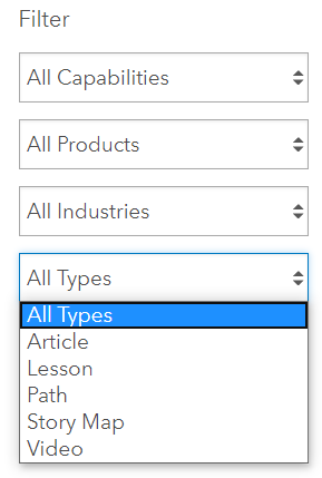
There are just over 300 lessons you can play with and can be filtered based upon product (as shown below), by capability, industry and lesson type (story-map, video, lesson, series etc). Not only are you guided through the tutorial using step by step instructions, you also have the ability to download the tutorial data and recreate the tutorial as and when you want to.

Access to the content and resources is free but some of the lessons will require you to be a member of an ArcGIS Organisation. Lessons can be filtered depending upon if you have a “public” or “subscription” based accounts.
It’s well worth having a look just to investigate something new or you want to explore a product before using it in anger. This is the site that I come to when I need to learn a new product or I am looking for ideas for exercises scenarios for new courses.
Event Proceedings
Another place to access event videos is via the Proceedings website. Clicking on the link below takes you to the entry page for all of the various events which are covered:
https://www.esri.com/en-us/about/events/index/proceedings
For example, clicking on the Imagery Summit link will provide you with a list of PowerPoint presentations and corresponding recordings of the sessions.

You can also get access to selected sessions from the International User Conference and the DevSummit via the Featured events options at the top of the page. For example, clicking on the Esri User Conference link takes you to the proceedings for the previous three years of user conferences:

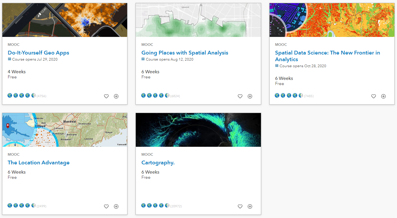
Esri MOOCs
Esri periodically runs Massive Open Online Courses (MOOCS). I love these as over a period of six or so weeks you will get an understanding of some of the latest core concepts and techniques that are prevalent in the geospatial world.
Currently, there are six MOOCs which are periodically released over the year. They range from cartographic techniques, to introducing spatial data science, to creating your own apps!

So how do you get access to them? Go to the link below and sign up to the one you want to join (if registration is open).
https://www.esri.com/training/mooc/
Once you sign up you will then get an email informing you that you are enrolled on the course. You will then receive an email closer to the start of the event with your joining instructions.
All you do is spend about two hours a week listening to short presentations from experts in their field, perform practical exercises and undertake short quizes. You even get a certificate once you have completed the course!
And the best thing about Esri MOOCs is that they are free and you do not have to be an Esri customer to join. What have you got to lose?
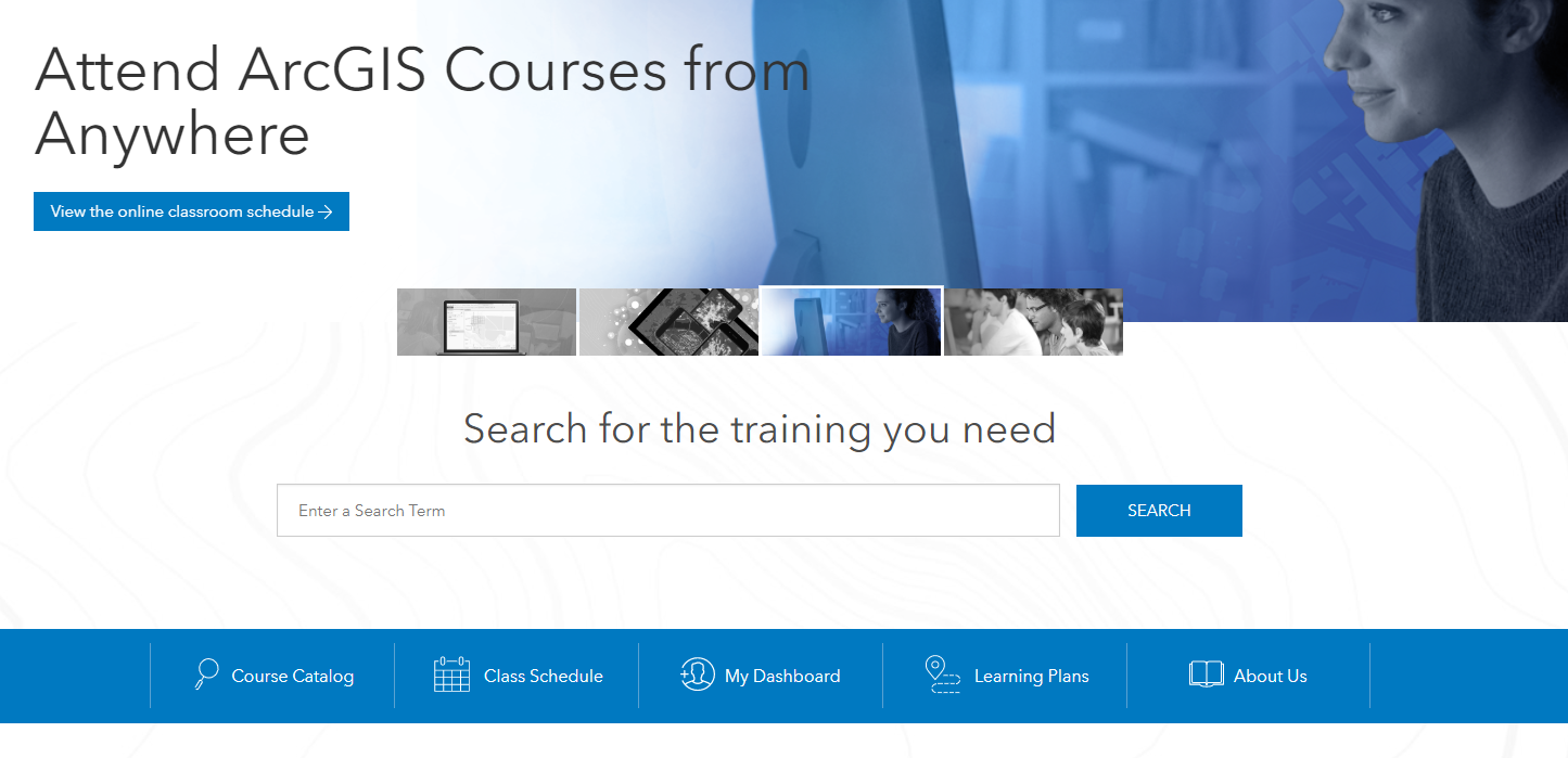
Courses hosted in the Esri Academy
Finally, there is the O.G. of resources which is the training catalog hosted in the Esri Academy:

There are over 500 courses for you to explore at the following link:
https://www.esri.com/training/catalog/search/
How do you get to them?
Click on the Course Catalog link and scroll to the course formats area and click the Free check box.

There are over 250 ‘free’ courses.
You can filter courses by:
- Browse by Topic.
- Search for content by specifying a keyword in the Search Courses box.
- Browse by Product (for example ArcGIS Pro, ArcGIS Online, ArcGIS Dasboards, ArcMap (eeek!!) ). The default is set to Viewing All.
- Choosing training based upon the Format of the training, for example Learning Plans, MOOCS, Web courses to name but a few .
Fill your boots!
And there you have it! Plenty for you to get into.
Have I missed something off? If so then please let me know via the comments and I will update the list here.
Anyone spot the Queen song? It’s in there somewhere…